London beta

FairWhere
Walk and a pint on Regent’s Canal
Flat towpath from Angel to Victoria Park - text a bridge, walk as far as you fancy, finish at a pub near where you stop.
Occasion · Walk & pint · Regent’s Canal
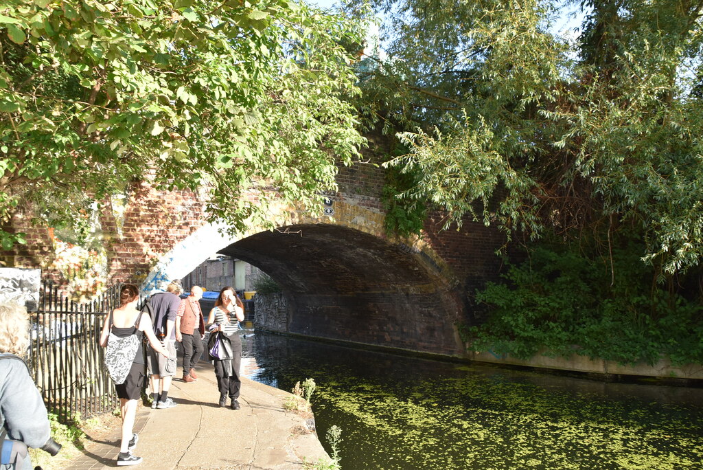
Photo: Haggerston Bridge (47), Regent’s Canal - N Chadwick (CC BY-SA 2.0)
Why Regent’s Canal for a walk and a pint
The canal runs from City Road Basin (Angel) east through Haggerston to Broadway Market, then into Victoria Park - about three miles of flat towpath with named bridges you can put in a group chat. Start at either end and stop when you hit a pub you like.
Broadway Market / Acton’s Lock and Victoria Park west are the best pint ends. Angel works too. Haggerston / Kingsland Road is a clear meet pin if that is fairest for travel - but aim the pint for Broadway Market or the park end rather than lingering on the Kingsland Road stretch.
Meet at a bridge, not “the canal”
Named towpath pins from Angel to Victoria Park - text one before anyone sets off.
Pubs near canal exits
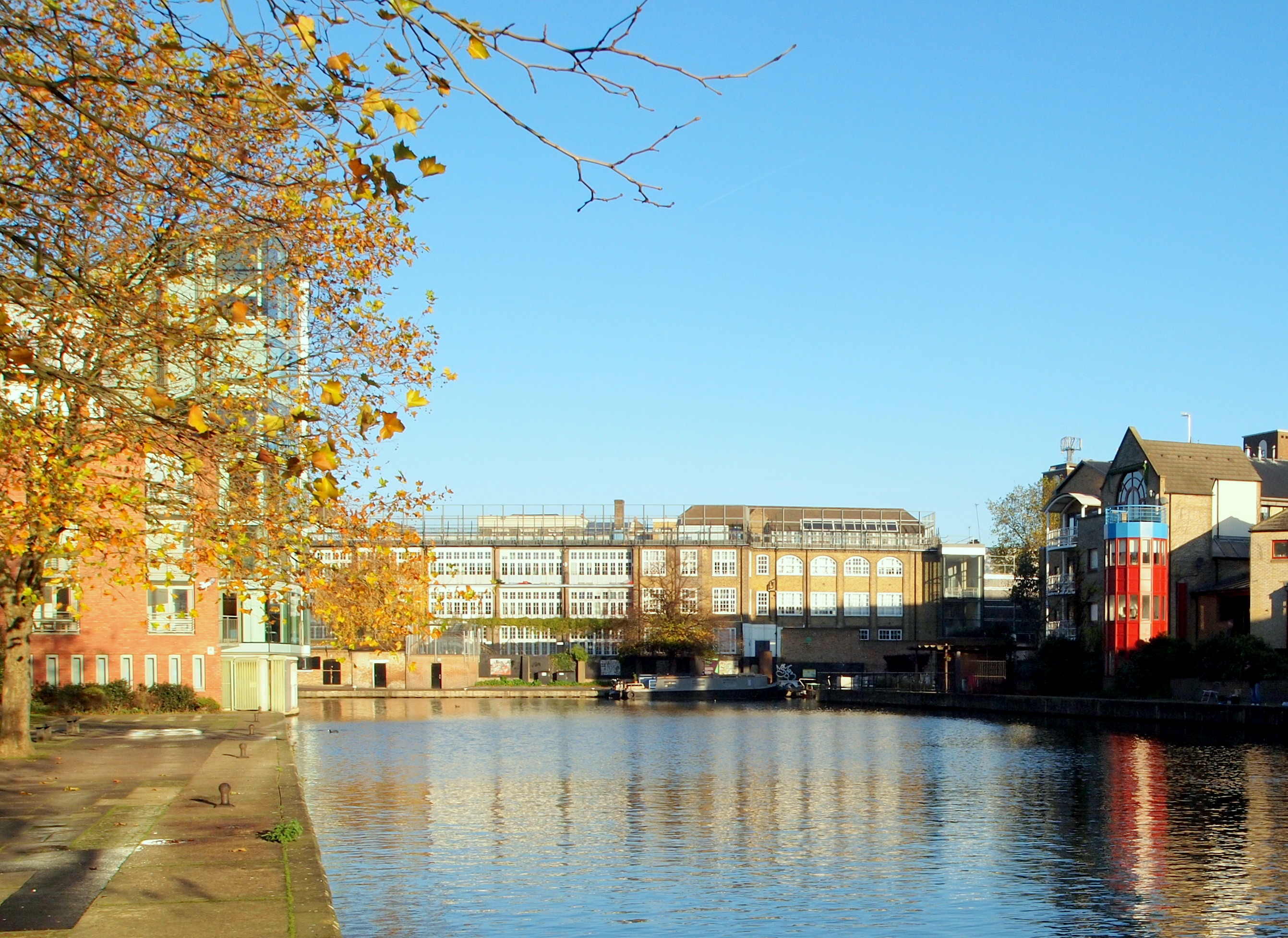
Pubs by the locks and park end. Broadway Market and Victoria Park west are the strongest. Walking times are rough - check Maps on the day.
How to plan it
- 1. Open the planner with Regent’s CanalThe CTA below opens the planner with Regent’s Canal already selected.
- 2. Add starting points and rank fairlyFairWhere balances travel for everyone, so nobody is punished for a midpoint guess on the map.
- 3. Exit to a pint (two stops only)Agree the exit and pub after the ranking. No invented third stop.
Related on FairWhere
- Walk and a pintAll London walks with a pub at the end.
- Dog walk and a pintWhen someone is bringing a dog, use the separate dog-friendly guides.
- Walk and a pint on Hampstead HeathOpen heath exits into Spaniards, Flask and Freemasons pubs.
- Walk and a pint on the Thames PathHammersmith to Strand-on-the-Green - riverside pubs at both ends.
- Walk and a pint in Richmond ParkNamed park gates, then a hill or Kingston Vale pub about ten minutes from the exit.
- Walk and a pint on the Parkland WalkOld railway path from Finsbury Park to Highgate, then a pint at Stroud Green, Crouch End or Highgate.
- Dog walk in Victoria ParkPrefer a park loop with the dog instead of the towpath.
- Regent’s Canal Meeting PointsExact pins you can text before the walk, including an autumn Open House or Totally Thames meet.
- Walk-and-a-Pint (Heath, Canal & Thames)Pub half for Heath, canal and Thames Path west exits.
- Walk-and-a-Café (Heath, Canal & Thames)Café half for the same walks.
Frequently asked questions
- How long is the Regent’s Canal walk?
- Angel to Victoria Park is roughly three miles - about an hour at a comfortable pace. It is flat, so shorten or extend freely: start at Broadway Market and walk west to Angel, or east to the park.
- Are there bikes on the towpath?
- Yes - especially through Haggerston after work and at weekends. The path is shared. Keep an ear out for bells; it is not a quiet country lane.
- Which end is better to start from?
- Angel (City Road Basin) suits Islington arrivals. Broadway Market is the mid-path meet with the strongest lock-side pubs. Victoria Park west suits people coming from Hackney or Mile End. Someone from Angel and someone from Mile End should not both guess “halfway” - add starting points and rank the pins.
- Which pubs work after the walk?
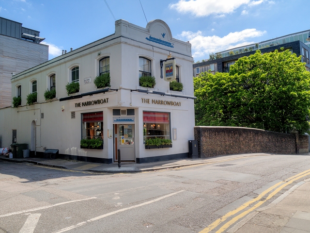
- Broadway Market / Acton’s Lock: The Dove (canal-side), The Cat & Mutton. Victoria Park west: The Crown, Royal Inn on the Park. Angel end: The Narrowboat on the towpath. Prefer those ends over a Kingsland Road finish if you met at Haggerston only for travel.
- How do we pick a fair canal meet?
- Open the planner from this page, add each person’s starting point (for example Angel vs Mile End), and rank the bridges - not the midpoint of a three-mile towpath.
Build the canal walk and pint
Opens the planner with Regent’s Canal selected - then ranks which bridge works from everyone’s starting point.